
A Native Crossing
A Native Crossing
According to historians, the Mohicans occupied this strategic crossing for millennia, using the intersecting waterways for trade and sustenance. The Hudson Champlain corridor forms a near-continuous water passage, extending from New York City and Quebec to the ocean and to the inland rivers and lakes. Tributary rivers flowing east and west provide access to New England and the Mohawk Valley of western New York. This waterway later became a major corridor for intertribal and European trade and warfare.
Old Saratoga was originally occupied by the Mohicans. They took advantage of the vast fisheries, abundant wildlife, and the transportation corridor. There is archeological evidence that local tribes had a strong trade economy that extended back 1,500 years. They established extensive trade routes that brought copper, tropical shells, exotic chert (a type of rock often used in stone tools), and other materials here from across North America.
By the 1630s, the Mohicans had been driven from the Saratoga area by their long-standing enemies, the Mohawks. The Mohawks remained in their large defensive villages in the Mohawk Valley, but used the Saratoga area to hunt and fish. Tensions among tribes escalated as the Mohawks and other members of the Iroquois Confederacy sought new hunting grounds to feed the European's demand for beaver pelts.
Iroquois expansion put the tribes in direct conflict with the Wabanaki Confederacy in present-day Canada and their French allies. The Beaver Wars, as the series of conflicts became known, escalated as war between Britain and France boiled over into the New World. By 1690, Saratoga was fortified by the British to guard this well-worn crossroads from French and Wabanaki raiders.

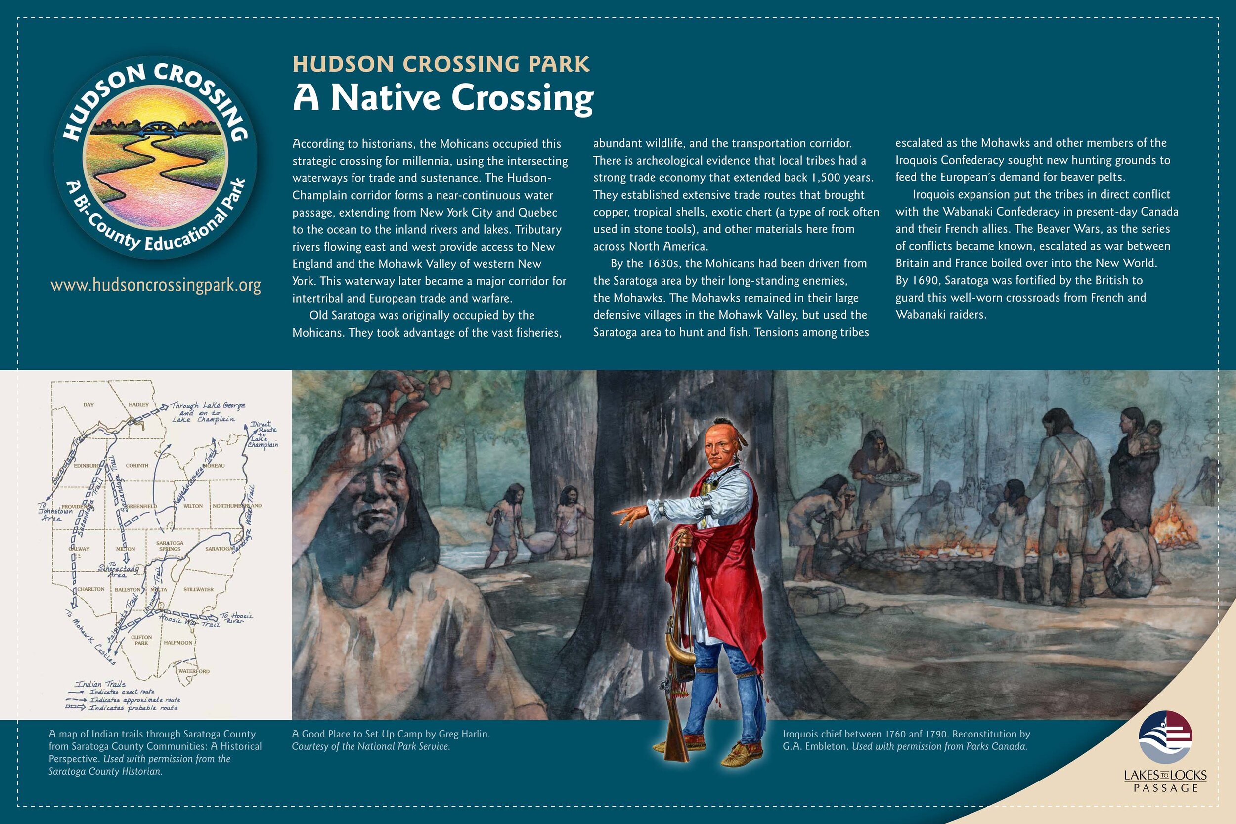
A map of Indian trails
through Saratoga County from Saratoga County Communities: A Historical Perspective. Used with permission from the Saratoga County Historian

Iroquois chief between 1760 and 1790
Reconstitution by G.A. Embleton. Used with permission from Parks Canada

A Good Place to Set Up Camp
by Greg Harlin. Courtesy of the National Park Service
